Ten years ago, on April 16th, 2006, NYCBikeMaps.com launched as New York City’s first interactive bike map. Admittedly, it was slow loading, prone to crashing […]
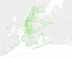
via Streetsblog: Prepare to be mesmerized. Betsy Emmons has mapped the history of New York City’s bike network using the platform MapStory, where she’s currently […]
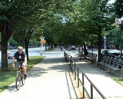
On June 15, 1894, Brooklyn’s Ocean Parkway became the home of the country’s first bike path. Inspired by the grand boulevards of Europe and designed […]
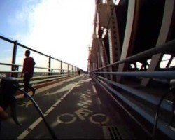
Bike ride across the Queensboro Bridge (59th Street) from Manhattan into Queens. Video is played back at 2x the normal speed. view more videos from […]
Bicycle ride across the Brooklyn Bridge going from Brooklyn to Manhattan on Friday August 21st. The ride starts at the entrance to the Brooklyn side […]
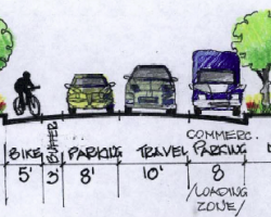
Streets Blog has confirmed that the existing Grand Street bike lane between Varick and Chrystie is being replaced with a protected bicycle path. The bike […]
Westchester County, New York City’s neighbor to the North, is home to the North County & South County trailways. These Westchester trails are part of […]
NYCBikeMaps.com utilizes a five color legend to classify routes for cyclists. Bike Path / Greenway / Off-Street Path off-street bike path or designated path in […]
NYCBikeMaps.com makes no guarantees that the bike routes listed will be suitable for all cyclists. View Legend for more details.
Site Map | Privacy Policy