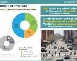
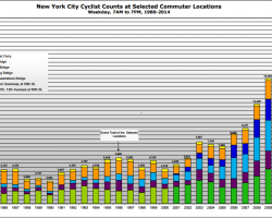
NYC.gov recently released an update on cycling trends in the city. download the full NYC Cycling trends reports Introduction Over the past two decades, New […]
Ten years ago, on April 16th, 2006, NYCBikeMaps.com launched as New York City’s first interactive bike map. Admittedly, it was slow loading, prone to crashing […]
via Streetsblog: Prepare to be mesmerized. Betsy Emmons has mapped the history of New York City’s bike network using the platform MapStory, where she’s currently […]
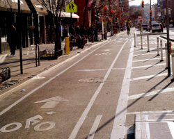
Video of a bike ride along the Grand Street bike lane from Thompson St to Chrystie St on my way to the Manhattan Bridge. This bike lane has been rather controversial
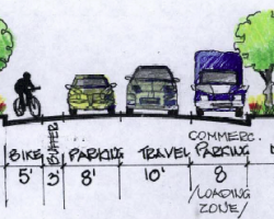
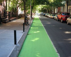
Streets Blog has confirmed that the existing Grand Street bike lane between Varick and Chrystie is being replaced with a protected bicycle path. The bike […]
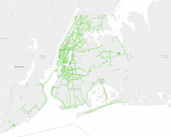
Bikers in New York City now have some new bike lanes to enjoy while riding around town. Manhattan appears to have been the recipient of the most new bike lanes, with Brooklyn and the Bronx also getting a few.
NYCBikeMaps.com utilizes a five color legend to classify routes for cyclists. Bike Path / Greenway / Off-Street Path off-street bike path or designated path in […]
NYCBikeMaps.com makes no guarantees that the bike routes listed will be suitable for all cyclists. View Legend for more details.
Site Map | Privacy Policy