• NYC Bike Maps
    • ›
      • ‹
      • NYC Bike Maps.com is an interactive bike map for the New York City metro area and beyond. It leverages data from NYC.gov, , Citibike, NJ DOT, East Coast Greenway, and more. more map resources:

        Developed in 2006, NYC Bike Maps was the first interactive bike map for NYC leveraging an unofficial use of the Google Maps API and GPS files collected exploring NYC by bike.

        In 2021, the site is a mix of out of date maps/technology undergoing a migration from Google Maps to Mapbox. This page leverages great work from Todd Lee-Millstein.

        more NYC Bike Maps.com posts nycbikemaps.com/spokes

        Free Cycling maps are available for free at bike shops throughout NYC or by visiting NYC.gov

    • ›
      • ‹
      • NYCBikeMaps.com utilizes a color-coded legend to classify routes for cyclists.

        NYCBikeMaps.com makes no guarantees that the bike routes listed will be suitable for all cyclists. View Legend for more details.
        Bike Path / Greenway / Off-Street Path off-street bike path or designated path in parks or on-street protected bike paths Manhattan Waterfront Greenway Protected Bike Path on 9th Avenue
        Bike Lane on-street striped route Bike lane on 91st Street
        Sharrows / Signed Route on street signed route or sharrow Sharrow near City Hall in Manhattan
        Recommended On-Street Route on-street route with traffic. no bike signage or separation. busy street in Chinatown Manhattan
        Caution! Bike lanes & paths may be blocked by cars or pedestrians, or closed due to construction or maintenance. Please ride safely and responsibly. Flooded street Bike lane blocked by NYPD blocked bike lane
    • ›
      • ‹
      • NYC Bike Maps.com is an interactive bike map for the New York City metro area and beyond. It leverages data from NYC.gov, , Citibike, NJ DOT, East Coast Greenway, and more. more map resources:

        Developed in 2006, NYC Bike Maps was the first interactive bike map for NYC leveraging an unofficial use of the Google Maps API and GPS files collected exploring NYC by bike.

        In 2021, the site is a mix of out of date maps/technology undergoing a migration from Google Maps to Mapbox. This page leverages great work from Todd Lee-Millstein / www.nycbikemap.nyc

        Free Cycling maps are available for free at bike shops throughout NYC or by visiting NYC.gov


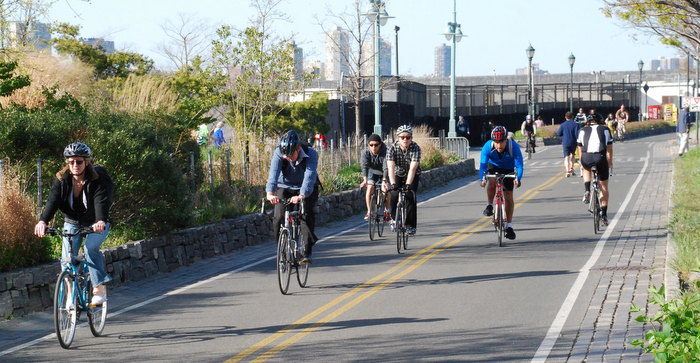
    • New York City’s Bike Paths, Bike Lanes & Greenways

      You are viewing the New York City Bike Map. You can also view by boro Manhattan, Brooklyn, Bronx, Queens, and Staten Island.

      There are also maps available for featured parks and greenways, including Central Park, Prospect Park, the Manhattan Waterfront Greenway, South/North County Trail, and River Road.

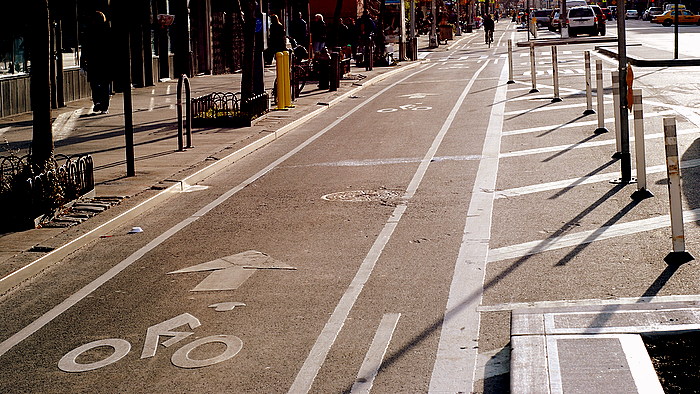
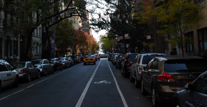
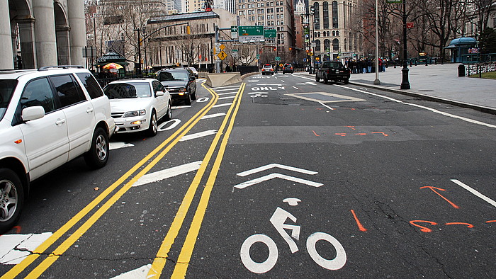
      Bike Map Legend:    Bike Path / Greenway   Bike Path with special hours    Bike Lane   Bike Route   On-Street Route     Warning    More Info  LEGEND


      NYC Bike Maps.com

      Bike Map Legend:    Bike Path / Greenway   Bike Lane   Bike Route   On-Street Route     Warning    More Info  LEGEND NYC Bike Map | Manhattan | Brooklyn | Bronx | Queens | Staten Island

      map code NYC Bike Map v1.3.1