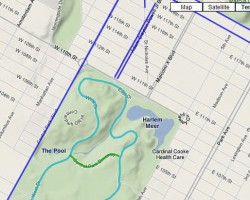
The NYC Bike Map now has a terrain view option that allows you to view the elevation of the surrounding area.
The NYC Bike Map now has a terrain view option that allows you to view the elevation of the surrounding area.
The Google map tiles used by the NYC Bike Map have been updated to include subway and train stations. Subway stations will appear when the map is zoomed in.

Here are a few of the best websites for getting bike maps and bike ride info for the New York City region.
NYC Bike Maps .com is your online resource for bicycling in New York City. Our goal is to provide you with accurate maps, relevant information, […]
New York City has stated that they plan to add 70 miles of new bike lanes & bike routes to the city’s bicycle network in […]
NYCBikeMaps’s new “Link to this Page” feature saves your current NYC Bike Map location, zoom, & map type.Simply click on the ‘Link to this page’ […]